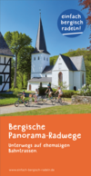
© BSW / Patrick Gawandtka

just cycle Bergisch

along disused railway lines

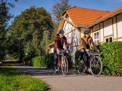
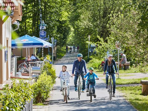
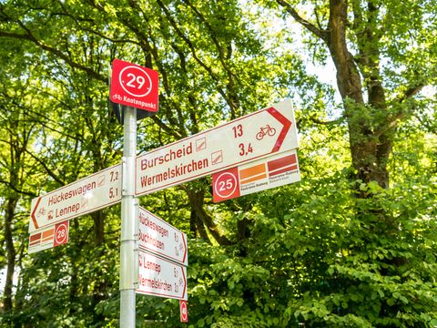
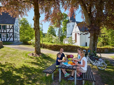
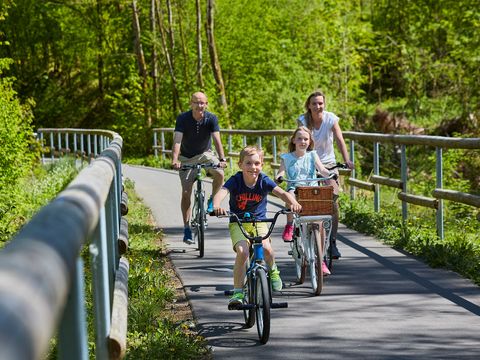
Cycling completely relaxed in the Bergisch region? Yes, no problem! Well developed and almost perfectly flat cycle trails along the former railway lines make it possible: the Panorama Trails network is around 220 kilometres long. It connects the Bergisches Land, the south Ruhr Area and the Sauerland, and joins the popular riverside cycle trails along the Rhine, the Ruhr and the Sieg. Around 150 kilometres run along former railway lines and there are only a few strenuous parts to overcome along the connecting paths.  


Old railway lines - perfect cycle trails

© BSW

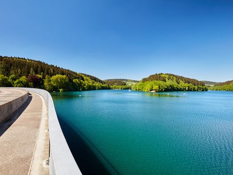
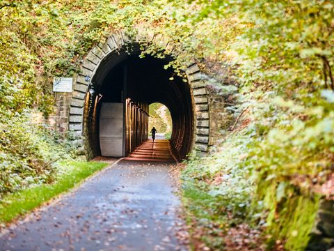
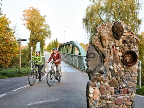
The "Bergische Panoramaradweg” (Bergisch Panorama Cycle Trail) and the "Panoramaradweg Balkantrasse" (Balkantrasse Panorama Cycle Trail) offer two attractive tours along the former railway lines through the Bergisch region. Panorama cycle trails along former railway lines are ideally suited to exploring the hilly landscape. A quick look back at history explains why: at the beginning of age of the railway, industrialisation was forging ahead by the end of the 19th century - in the Bergisch Tri-city Area too. Railway lines were built to supply production centres with raw materials and to transport the finished goods away. In order that the heavy railway carriages could travel, stretches with low inclines were built with innumerable tunnels, bridges and viaducts. The have left their mark on the landscape to this day - and make cycling a very special experience. The Panorama cycle trails offer breathtaking expansive views of nature, the rural idyll and urban living - just a few pedal pushes away from each other. 

  • Bergische Panorama-Radweg (Bergisch Panorama Cycle Trail): 131 km from Hattingen to Olpe 
  • Bergischer Panorama-Radweg (Bergisch Panorama Cycle Trail): Stage Agger-Dörspe: 15 km from Bergneustadt to Gummersbach 
  • Panorama-Radweg Balkantrasse (Balkantrasse Panorama Cycle Trail): 51 km from Wuppertal-Oberbarmen to Leverkusen 
  • Panorama-Radweg Niederbergbahn (Niederbergbahn Panorama Cycle Trail): 44 km from Essen-Kettwig to Haan 


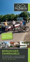
Longer distances can easily be covered by travelling by regional train or Bergischer FahrradBus for parts of your tour. 
 

brochures and maps

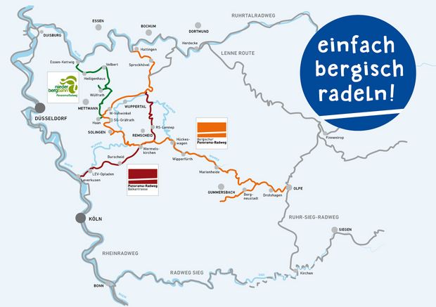
Übersichtskarte einfach bergisch radeln

Die Übersichtskarte gibt einen Überblick über die Bahntrassen-Radwege, die zu dem Verbund "einfach bergisch radeln" dazugehören: Bergischer Panorama-Radweg, Panorama-Radweg Balkantrasse und Panorama-Radweg niederbergbahn.

Tourenplaner einfach bergisch radeln

Der Tourenplaner von "einfach bergisch radeln" dient als Planungsgrundlage für Ihre Radtour oder Ihren Radurlaub auf den Panorama-Radwegen. Er enthält Übernachtungs- und Einkehrmöglichkeiten entlang der Trassen und Vorschläge für Rundtouren oder Tagestouren auf den Panorama-Radwegen.

Fahrrad-Touren-Karte "Bergisches Trassen-Treffen"

In der Fahrrad-Touren-Karte sind die Panorama-Radwege im Rheinisch-Bergischen und Oberbergischen Kreis mit angeschlossenen Rundwegen (Bergisches Trassen-Trio, Radroute Wasserquintett) in einem zum Fahren geeigneten Maßstab abgebildet, ergänzt durch Sehenswürdigkeiten, Einkehrmöglichkeiten und Radservicestationen.

This is your selection
Please select the desired brochures from the list you would like to order.

It appears that you are using Microsoft Internet Explorer as your web browser to access our site.

For practical and security reasons, we recommend that you use a current web browser such as Firefox, Chrome, Safari, Opera, or Edge. Internet Explorer does not always display the complete content of our website and does not offer all the necessary functions.