© Dominik Ketz

The Water Quintet

Where the Wipper becomes the Wupper

The Water Quintet refers to the region around the five dams: the Wupper, Bever, Brucher, Neye and Lingese. They give the Bergisches Land a unique character and are pivotal to the development of the cultural landscape. Explore the varied landscape around the five dams in the Oberberg region along a number of circular routes of varying lengths: the vast "Water Quintet Hiking Trail" is 108km long and connects all four districts of the Water Quintet. What's more, visitors of all ages can enjoy a short or long hike through the varied landscape on a total of 11 circular trails. There is also the Water Quintet Cycle Route, which invites you to discover the Water Quintet along 73km of signposted cycle paths, 28 km of which are former railway tracks. 

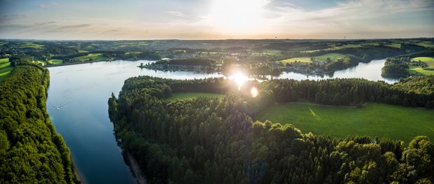
Discover the Water Quintet in the Bergisches Land in the midst of a fascinating natural landscape along the Wupper river and its numerous dams. 
 

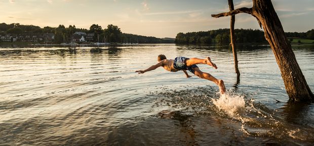
© Dominik Ketz

At a good 116 kilometres in length, the Wupper is the longest river in the heart of the Bergisches Land and yet, strictly speaking, there is no Wupper spring. For the first few kilometres, the river that rises near Marienheide is still called the "Wipper". It is only at the confluence of the Kerspe at Wipperfürth that it becomes the Wupper. 


The river, which further downstream gives its name to the city of Wuppertal and passes under Germany's highest railway bridge at Müngsten, has even more special features to offer in the vicinity of its headwaters. Indeed, there are more dams in the high-rainfall headwaters of the Wupper than anywhere else in the country. With the Brucher Dam, the Lingese, Kerspe and Scheveingen Dams, the Neye, Bever and Wuppertal Dams, the Wipper/Wupper passes no less than seven dams in its first 40 kilometres. 

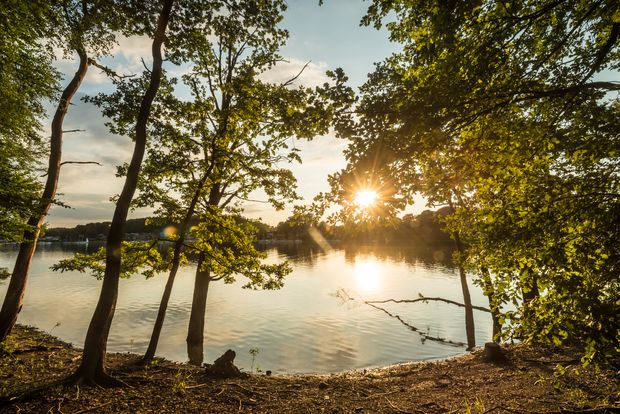
© Dominik Ketz

At least some of these dams are used to produce drinking water. With the exception of the Kerspe and Neyetal dams, all the reservoirs in this region were built to regulate the water level in the Wupper. They are intended to prevent flooding by storing water during periods of heavy rainfall and releasing it during periods of low rainfall in order to ensure that hydroelectric power can be used all year round further down the Wupper. 

Most of the dams also generate electrical energy from hydropower on site with the aid of turbines. The oldest dams were built as far back as 1900, the most recent - the Wuppertal Dam - was only completed in the 1980s. The reservoirs, which are situated in idyllic valleys, have attracted recreation-seekers from a very early stage, including water sports enthusiasts as well as hikers, cyclists and campers alike. 


The project

© Dominik Ketz

Starting in 2004, the districts of Hückeswagen, Marienheide, Radevormwald and Wipperfürth, together with the Wupper Association, the Oberbergische Kreis and the Regionale 2010 agency, have developed strategies for shaping this unique area in the Bergisches Land across municipal boundaries. The five Wupper, Bever, Brucher, Neye and Lingese dams are the namesakes of this project; they shape the Bergisches Land in a unique way and are of key importance to the development of the cultural landscape. 

In addition to a tourist base station in Wipperfürth, a signposted 108-kilometre long-distance circular hiking trail that interconnects with several other routes (about 140km combined) cuts through the region, which can be hiked in one-day stages piece by piece or as eleven individual circular trails. Almost 70 kilometres of cycle routes have been signposted in the Wasserquintett region, some of which run along the former railway embankment between Marienheide, Wipperfürth and Hückeswagen, allowing even locals to discover the Wasserquintett in a whole new way. 


The main routes 

a cycle route (73km) and a long-distance hiking trail (108km) that can be hiked in 7 stages - each marked with their own signs.

trail markings

Long-distance hiking trail, connecting paths and cycle route

The main routes of the Water Quintet - the long-distance hiking trail, the connecting trails and the cycle route - are all signposted with their own markers. The marker for the cycle route takes the form of a logo insert in the red and white signage of the NRW cycle network. 

The circular hiking trails 

These trails are not indicated with their own trail signs, but they do follow signposted hiking trails. You will find detailed descriptions of the trails in the flyer for the respective route.

It appears that you are using Microsoft Internet Explorer as your web browser to access our site.

For practical and security reasons, we recommend that you use a current web browser such as Firefox, Chrome, Safari, Opera, or Edge. Internet Explorer does not always display the complete content of our website and does not offer all the necessary functions.